Monday December 9, 2013
Even though we had enough entertainment to fill our whole day now, with the dolphin show presented to us as we were leaving St. George’s Cay, there was still the business of getting up to Cay Caulker. Matt had allowed us to use our engine as we made our way between a fairly tight channel between two of the cays, but as soon as we cleared them we were reliant solely upon our sails once more. Pointing the bow in a northern direction, surprise, surprise, we were in irons and had to adjust our course. Falling off 3 degrees at a time, we finally had enough wind in our sails to move us forward, only to find out that this course would put us in the shoals on the west coast of St. George’s Cay within about two miles. We still kept this course for just a bit, to get as far north as we could, and then tacked.
Usually with our headsail up we can point within 35-40 degrees of the wind, but they were just so light today that even subtracting 110 degrees from our previous course we’d get luffing up front and forward speeds of 1.5 knots. Subtract 3, subtract 3, …..ok, now we’re pointing directly at Belize City. We were pretty much now headed in the opposite direction we wanted to go, although this was going to put us further out in the bay and when we went to tack again, hopefully on a course toward a channel we needed to cut through to get to yet another small bay. I’ll save you a long story of lots of tacking, light winds, and not getting far. After 90 minutes of entering this bay, having made about a half mile in the direction we needed, and winds now dipping to 5 knots, we finally conceded and put the engine on. I’m pretty sure that just after that, all wind died out together and the 5 knots we were still showing on our gages was only the apparent wind we were creating from motoring forward.
It was the first beautiful day we’d had in awhile and we enjoyed the sun and the calmness as we sat in the cockpit and tracked our progress. Matt was able to enjoy it just a little longer than me, because as the self appointed navigational specialist, I was the one behind the wheel, trying to line us up perfectly with the forementioned channel. Or, Porto Stuck as they refer to it on our charts. I’m pretty sure this is because if you get anywhere outside of the channel, you will get stuck. Possibly even in the channel, since the depths there are only 6 ft at MLW. Not only did I have these shallow waters to worry about, but we were getting conflicting information between the paper charts in our guide book, and the information typed into our chart plotter. Which one was I to trust? The usual ever reliable paper charts and notes from 1996? Or the new and just updated waypoints and notes on our Navionics electronic guide?
Matt told me to listen to our guide book, plugging in a few waypoints listed in there, but when overlapped with our chart plotter, showed us running right over stakes in the water. I was not convinced. As soon as the water hit 8 ft I slowed us down to a mere 2.5 knots, thinking that at least if I was going to get ‘Porto Stuck’, I wouldn’t do it with much force behind me. Another long story short, the guide book was to be trusted over the chart plotter. We never did get ourselves stuck, but there were a few times we got down to 5 ft on our depth sounder (we have a draft around 4’9â€), and the closer I edged to where our guide book told us to be, the deeper the water became. Once I realized it was the waypoints from the guide book I should be following, we passed through with a comfortable 8-10 ft below us.
Getting through the channel we had to adjust course a few more times since if you keep following your path through the channel, you’ll quickly find yourself in 3 ft of water. There was a tricky 7-8 ft for awhile, but as soon as we were in 10 feet again I said screw it to the charts and pointed us right at Cay Caulker. There did become a point though, again, that I was really happy we had our guide book with it’s paper charts. It turns out that Navionics didn’t feel like charting this area. It covered Chapel Cay, the next island in front of us, but after that it was only ambiguous blobs of land, surrounded by three feet of water, or so they said. If we did not have our guide book, I would not have touched this area with a 10 ft pole. As it stood, we continued to motor through 13 ft (hear that Navionics? 1-3. You still need to add the 1 on your charts) of turquiose water towards what looked like a very nice anchorage at Cay Calker. Or, Corker Cay as our chart plotter was referring to it as.
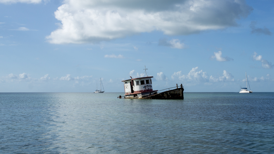
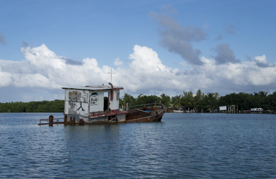
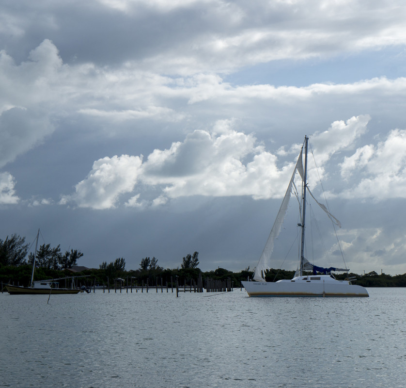
Getting closer to Chapel Cay and finally Cay Caulker/Corker Cay, I was on a constant spy mission with binoculars glued to my face. The reason? We knew that Skebenga was traveling through the Cays of Belize, but since we haven’t had internet since leaving Livingston a week ago, we had no idea where in the islands they might be at the moment. There were no masts to be spotted at Chapel Cay, but my excitement did grow as I could tell there were at least three boats at Cay Caulker/Corker Cay. When we finally rounded the corner to the little bay tucked into the west side of the island I was disappointed to find out that none of the boats there were Skebenga. Traveling into the bay as far as we dared, the anchor was dropped in 13 ft of water and we kept a suspicious eye on the three shades lighter water about 150 ft south of us. The boat was quickly put back together, and Matt uttered some words that made me almost fall out of my chair. “Let’s go to shoreâ€.
It was now about 3:30 in the afternoon and I assumed he’d want to save it for the next day. We hadn’t touched land in 7 days, what’s one afternoon more? That’s what I thought would have been going on in his mind. This is what had been going through mine: ‘7 days. No land. No people. No internet. DIOS MIO. I NEED INTERNET!’. How did people even used survive without it? I could probably tell you, but then I’d have to launch into a ‘When I was a kid…’ story which would give up any illusion that I might still be in my early to mid 20’s. When Matt said it was time to go, I didn’t even put up a fight that I had no make-up on, I just wanted to get the dinghy down before he changed his mind.
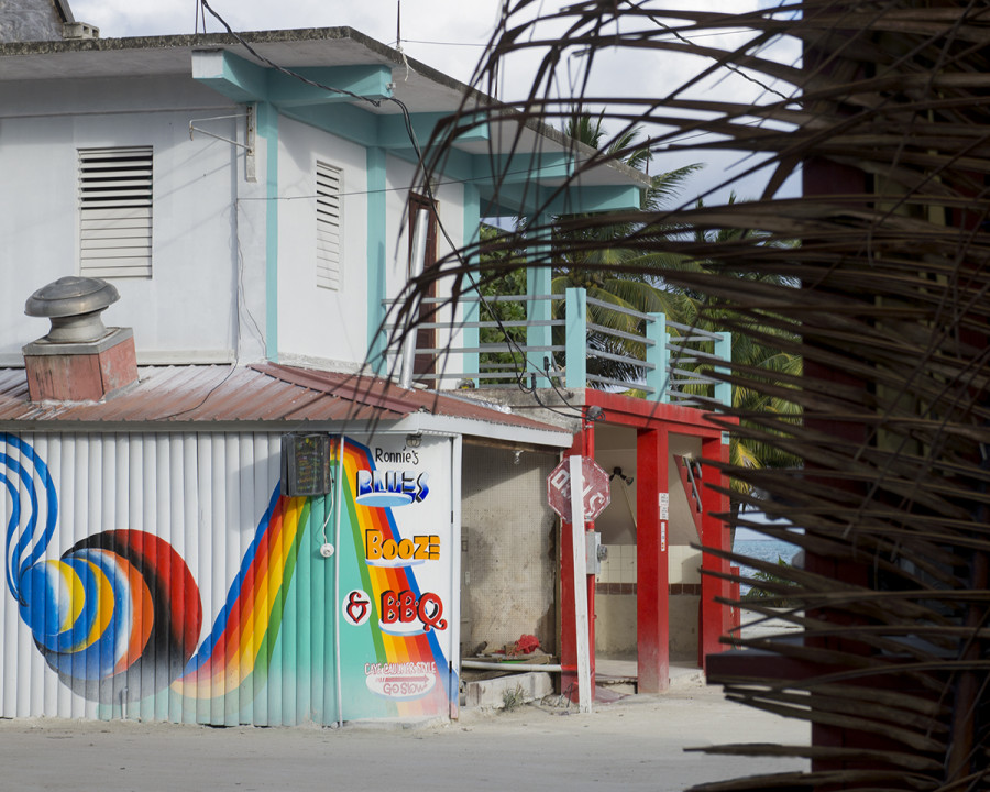
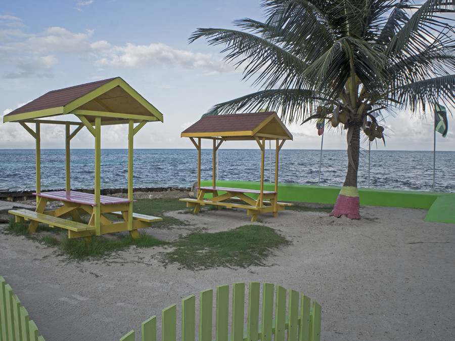
Trying to decipher the rudimentary map drawn in our guide book, we landed the dinghy at a concrete pier where I was volunteered to stick my arms through the seaweed and alge to run our lock around one of the posts. Â Sloshing through all the puddles caused by the recent rain and causing bits of mud to flick back up at us, we wandered down the street until we reached the main road. Â We spent about 20 minutes strolling down the street and back, admiring the laid back atmosphere and island vibe this place had to offer. Â It was a perfect little beach town, and had we been touring Belize by land and not boat, it’s definitely a place I’d want to stay. Â It kind of reminded me of Utila, Honduras, but much better. Â It was cleaner, brighter, and postcard perfect. Â Dive shops and paddle board rental facilities were sprinkled between restaurants and bars, and couples and families would roam the dirt roads, enjoying an ice cream cone or an iced coffee. Â It looked like a great island to stop at, and I’m not even just saying that because it’s the first landfall we’ve made in a week.
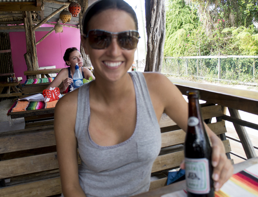
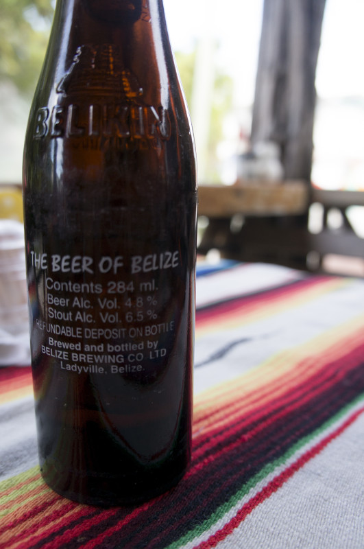
Getting back to a restaurant we had passed on our way in, the two of us slid into a table, ordered a couple of Belikins, and took advantage of the internet. Â Our inbox was full of messages and our Facebook page had more notifications than I even had time to look at. Â A few quick messages were sent out to our families to let them know where we were and that we were safe, and then a message was sent to Skebenga to try and find out their whereabouts. Â Since we’re trying to blow through Belize as quick as possible we might only have one or two more occasions to come to shore, but of all the islands we could have landed on, this one is an undeniable winner.
Hey, husband, I’m over here….focus!


I just stumbled upon your blog today and this is the first post I read.
I sailed to Cay Caulker 30 years ago (I was young). Part of our mission was to eat at Martinez Restaurant for the ‘all you can eat lobster dinner’ which cost $2.00 (US) per person. The dinner came with a huge platter of lobster tails, fried plantains, white bread and kool aid. The Belikins were extra at 50cents each.
There was nothing on the island except that restaurant and many ramshackle frame homes for fisherman. We could not leave our boat unattended and hired a guy to sit onboard as we went ashore which was standard in those days.
Have a great adventure and keep the photos and blog coming – it’s wonderful.
Rick
Santa Monica, Ca
Rick, I would have loved to see Cay Caulker 30 years ago and have enjoyed cheap beer and lobster there as well. Now you’ll buy a Belekin for about $2.50. I do like how they’ve tastefully built it up though. Lots of cute little shops and restaurants. Plus the bakery with it’s sweet bread…by far the best find on the island!
A nice write up, going to add this to our travel list of things to do!