Saturday September 1, 2012
We had 5o miles to cover today and made sure to leave early enough, around 9, to ensure we’d be to Lock 23 before dark. I didn’t think the day would be very exciting, we’d only have two locks to pass through, but we’d also be going through Cross Lake on this day. This was a big worry for me. A couple who went through the canal a few years ago had made a wrong turn just after Cross Lake because their charts didn’t show them the correct path and they almost ran aground because of it. Luckily someone on shore was able to yell at them to turn around just before they hit shallow water and they were ok. Pulling out their paper charts they saw the turn they were supposed to make and went back to it. We don’t have paper charts. Right now we don’t have any kind of charts. I was terrified. To prepare myself a little better I had taken a photo of their paper chart they posted online so I could use it as a reference. I did not want to run this boat aground in 3 feet of water.
 The morning was a little more eventful than I thought it would be. There were still not any towns we passed through, but there were tons and tons of campgrounds filled to the brim with holiday campers. There was that, and then there were the powerboaters going 30 mph up and down the river leavng huge wakes for us to jump over. Hey, at least it wasn’t boring. When things slowed down a litle again Matt said he was a little tired and was going to lay down for a bit.
I merrily sat behind the wheel, keeping an eye on the river in front of me. I like to check the depth and speed constantly and after 15 minutes of being up there alone I looked at the chartplotter and all the numbers were blank except the time. I could not lose my depth finder, that was the one thing keeping me sane about traveling without charts. I looked up to the instruments near the companionway and although the speed was not showing, the depth was. Ok, I could live with that, I didn’t need to know how fast I was traveling. I was just going to let the rest go when I thought ‘What if something fried? What if something happened to the system and it could be fixed if it was done right away, but left alone it would have to be replaced?’. No more nap time for Matt. I called him up and explained what I was seeing and let him have at it. Playing with the chartplotter and reading all the manuals he decided it was a voltage surge and was able to get everything up and working again.
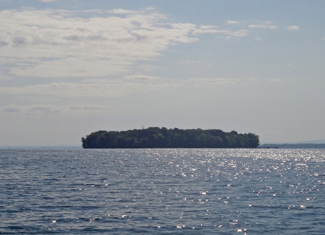
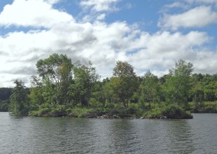
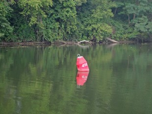
After that debacle he went below again to try and get more sleep. It didn’t last long as soon I was coming up on a wide open area and still no charts to tell me where to go. I looked right, left, and straight, but could not see a clearly marked path anywhere. Yelling for him to come back up we bobbed around in the water for a little bit, constantly floating closer to some down trees in the center. As he tried to pull up charts on his phone I looked across to what I was now pretty positive was Cross Lake. Searching up and down the lake I noticed a red and green buoy at the other side. At the same time Matt noticed a green one to our left. He then also thought to try our charts on the chartplotter again to see if anything was showing, and surprise surprise, they were now working. Hallelujah, I was not driving (as) blind anymore. Since that green was supposed to be on our right for this part of the journey I changed direction and backtracked a little to make my way over there.
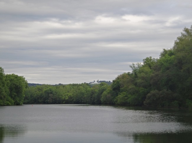
Having that part figured out I knew our next obstacle would be locating the State Dugout after the lake, the correct turn before the river continued to 3 feet of water. Matt went below to try and bring up the photo of the paper chart on my laptop, and while he was having troubles getting the AC power working I zoomed out on my chartplotter. Ha!, the State Dugout was showing, complete with buoys to lead the way! Passing through the lake and onto the Seneca River I then made the left turn when I saw it come up. Even though the State Dugout was narrow it had red and green buoys marking it and I felt very confident in my decision. A pontoon boat of about 4 people passed us and I cheerily waved to the guy behind the wheel. He raised his hand to a half wave, then moved it side to side as you do when you’re gesturing that something is ‘so so’ or ‘iffy’, shrugged his shoulders and then went back to the half wave. WHAT DOES THAT MEAN??!! Had I not chosen the right path? Was he unsure if I could make the 15 feet clearance of the bridge ahead of me? Completely second guessing myself now I reviewed the charts again and saw that in a few hundred feet I’d be joined back up with the canal and into wide and deep waters. If I could just make it that far then I’d be able to breathe again. I did make it through just fine and now that we were back to the easy part I handed the wheel over ready for a break.
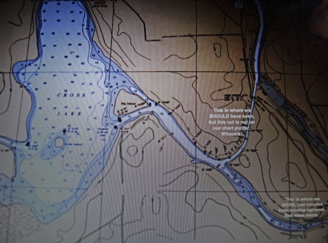
The photo I had taken of the other couple’s paper chart (their writing)…..

….and our chartplotter matched! Â We were good to go!

